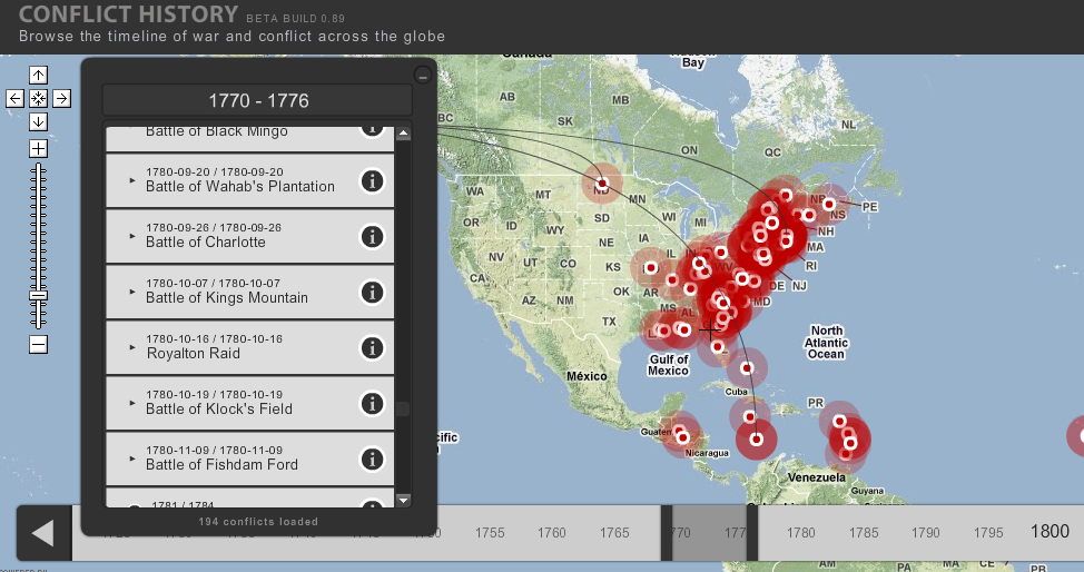

When teaching history, one quickly discovers that good maps are hard to find that illustrate many of the aspects you are trying to teach. A new website, Conflict History, takes all known battles, small and large, and places them in a user-friendly timeline linked to the physical places on a map. It’s largely flashed based and is easy to figure out and use. The only drawback that I can find is that large-scale resolution doesn’t really exist. That means that you can find the location for a particular conflict, but movements of battlements or immigrants or resources or, or, or… are non-existent.
The site is still worth looking into and useful for 8-12 research projects.
Recent Comments